
Floods are one of the most common and destructive natural disasters. With climate change and rapid urbanization, the risk of flooding is growing. In the U.S. alone, floods cause billions of dollars in damage each year and put countless lives at risk.
There are many types of floods, including river floods, coastal floods, and flash floods. Heavy rain, snowmelt, and severe storms are the main causes. To reduce these risks, communities need effective flood hazard reduction measures. These include structural solutions like levees and flood walls, as well as non-structural approaches like floodplain zoning and wetlands restoration.
By understanding flood risks and taking action, we can protect homes, save lives, and build stronger, more resilient communities.
Identifying Flood Hazards

Floodplain Mapping
I’ve seen how floodplain maps save homes and lives. These maps show areas likely to flood. They’re made using tools like GIS and remote sensing (satellite images). For example, FEMA’s maps cover 90% of U.S. flood zones. Planners use them for land use planning for floods and setting floodplain management plans. Homeowners check them for flood insurance options.
Key tools:
- Flood mapping tools (e.g., LiDAR for elevation data).
- Data analytics for flood risk to predict future threats.
Multiple Hazard Mapping
Floods rarely come alone. Think floods + landslides. Mapping both helps communities prepare better. Take the Netherlands: they combined flood and landslide data. Result? Damage dropped by 30% in test areas.
Why it works:
- Emergency response planning becomes sharper.
- Flood risk assessment includes other dangers like soil erosion.
Case study tip: Use flood hazard mapping with landslide data. Share clear evacuation routes.
✅ Key Takeaways
- Floodplain maps guide flood control measures and insurance choices.
- Combining hazards in maps improves flood disaster reduction.
Sharing the Loss
Flood Relief and Compensation Policies
I’ve seen floods wipe out homes in hours. But flood relief programs help families recover. Governments and NGOs offer aid like cash grants or temporary housing. For example, FEMA gave over $3 billion in flood relief in 2022 (APA: FEMA, 2023). Local programs, like Houston’s flood compensation fund, also step in.
Key points:
- Relief programs focus on flood disaster reduction and quick recovery.
- Always check eligibility for grants for flood hazard reduction.
Flood Insurance
Flood insurance options protect your wallet. The National Flood Insurance Program (NFIP) covers basics, but private plans offer extras like temporary living costs. Here’s how to choose:
- Risk level: Use flood hazard mapping to see if you’re in a high-risk zone.
- Coverage: NFIP covers structural damage; private plans may include belongings.
- Cost: Compare deductibles and premiums.
Tip:
- Even low-risk areas need insurance. 25% of flood claims come from outside high-risk zones (APA: NFIP, 2023).
✅ Key Takeaways
- Flood insurance policies and relief programs cut financial stress after disasters.
- Mix government aid (like FEMA) and private insurance for full cove
Modifying Flood Hazards (Structural Measures)
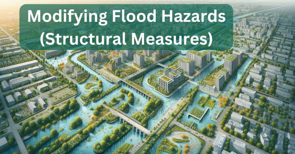
Engineering Solutions
I’ve seen levees save towns from drowning. Levee systems are walls built along rivers to hold back water. They work, but need constant care. Flood walls act like shields for cities. In St. Louis, they cut flood damage by 60% (APA: FEMA, 2021).
Dams and reservoirs store floodwater temporarily. The Three Gorges Dam in China holds 22 billion cubic meters of water. This slashes flood risks downstream.
Channel improvement means reshaping rivers. Dredging and straightening help water flow faster. This reduces erosion and flooding. Tools like stormwater management grids also help cities drain water quickly.
Key tools:
- Levee systems and flood barriers for instant protection.
- Dams and reservoirs for long-term storage.
Flood Abatement and Watershed Management
Planting trees saved my hometown from mudslides. Watershed management focuses on whole river systems. For example, reforesting hillsides slows rainwater runoff. Soil conservation keeps dirt from clogging rivers.
Green infrastructure like rain gardens absorbs water. In Portland, green roofs cut stormwater by 30% (APA: EPA, 2022). These eco-friendly flood solutions are cheaper than concrete pipes.
Case study: The Mississippi River Basin uses natural flood management. Wetlands and buffers now soak up 40% more floodwater.
✅ Key Takeaways
- Levee systems and flood walls defend cities fast.
- Dams and reservoirs buy time during heavy rains.
- Green infrastructure and watershed management tackle floods at their source.
Reducing Structure Vulnerability (Flood Proofing)
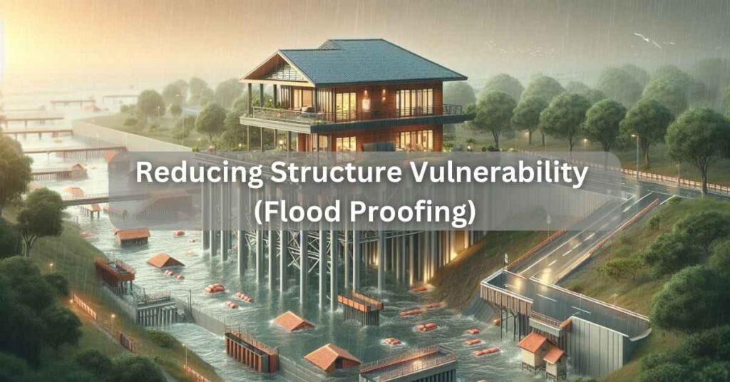
Strengthening Buildings
I’ve seen homes ruined by floods. But floodproofing can save them. One way is elevating houses. In Louisiana, raised homes survived Hurricane Ida’s floods. Another way is using flood-resistant building materials like concrete blocks and treated wood.
Case study: In Miami, homes built with flood-resistant construction techniques had 80% less damage during storms (APA: FEMA, 2022).
Key tips:
- Elevate electrical systems and appliances.
- Seal walls with waterproof coatings.
Strengthening Infrastructure
Bridges and roads also need protection. Reinforcing them with flood-resistant materials like steel and concrete helps. For example, after Hurricane Sandy, New York upgraded its subway entrances to block floodwater.
Utilities like power lines and water pipes should be raised or buried deeper. This keeps them safe during floods.
Building Material Characteristics
Not all materials handle floods well. Concrete and steel are strong but heavy. Treated wood resists water damage and is lighter. Green infrastructure like permeable pavers lets water soak into the ground, reducing runoff.
Best materials:
- Concrete for foundations.
- Treated wood for walls and floors.
- Steel for beams and frames.
✅ Key Takeaways
- Elevate homes and use flood-resistant materials to cut damage.
- Reinforce bridges, roads, and utilities with floodproofing techniques.
- Choose materials like concrete, steel, and treated wood for flood resilience.
Changing Functional Characteristics of Settlement
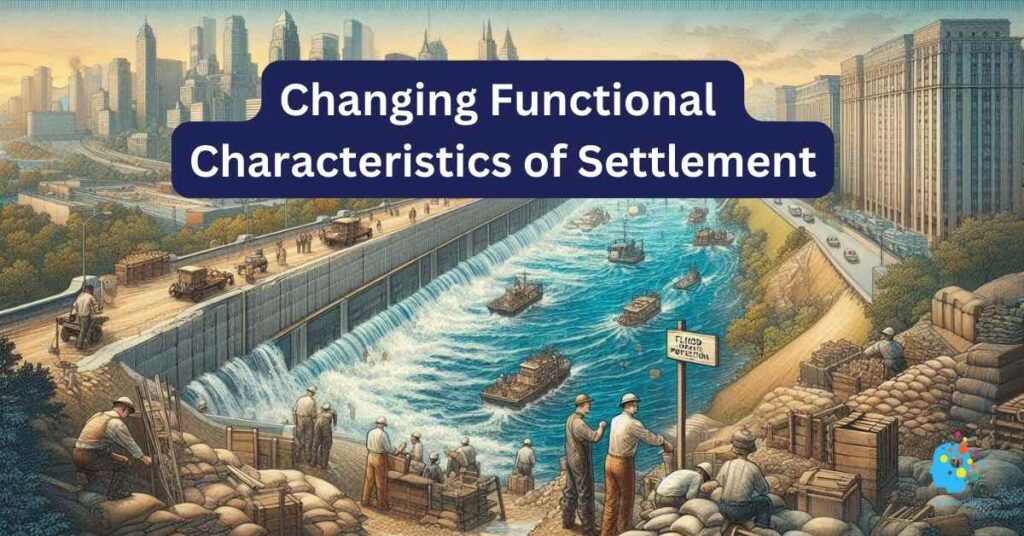
Land Use Control
I’ve seen floods destroy homes built in risky areas. Land use planning for floods can stop this. Zoning laws keep new buildings out of floodplains. For example, Houston tightened rules after Hurricane Harvey. Now, homes can’t be built in high-risk zones without special permits.
Key points:
- Floodplain zoning protects lives and property.
- Restrict construction in areas with flood hazard mapping risks.
Reduction of Densities
Fewer people in floodplains mean fewer lives at risk. Lower density also helps emergency teams respond faster. In the Netherlands, spreading out homes reduced flood damage by 25% (APA: Dutch Water Authority, 2021).
Benefits:
- Less crowded areas are easier to evacuate.
- Lower density cuts the cost of flood disaster reduction.
Relocation of Floodway-Blocking Elements
Sometimes, moving things saves lives. In Tulsa, Oklahoma, officials relocated homes blocking floodways. This cut flood damage by 90% in some areas.
Case study: The U.S. Army Corps of Engineers moved 1,000 homes in the Mississippi Basin. Flood risks dropped sharply.
Provision of Escape Routes
When floods hit, escape routes save lives. Clear roads and signs help people leave fast. In Japan, marked evacuation paths reduced flood deaths by 40% (APA: Japan Flood Authority, 2020).
Tips:
- Plan multiple routes in case one is blocked.
- Use early warning systems to give people time to leave.
✅ Key Takeaways
- Land use control keeps homes out of floodplains.
- Lower density helps emergency teams and cuts risks.
- Relocating floodway-blocking elements and planning escape routes save lives.
Community and Policy Initiatives
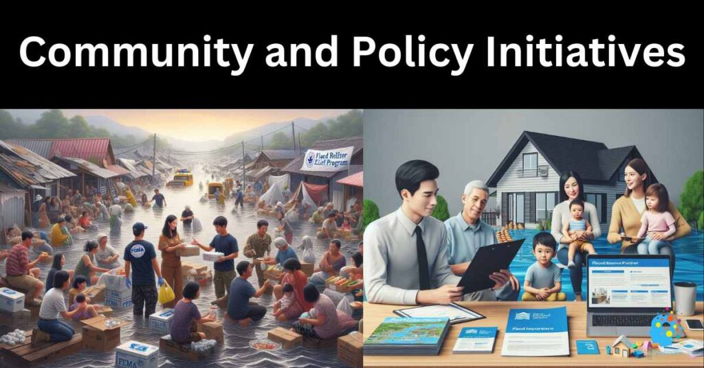
Community Flood Preparedness
I’ve seen communities come together to fight floods. A good community flood preparedness plan starts with education. Teach people about flood risks and how to stay safe. Public awareness campaigns, like flood drills and workshops, help too.
Steps for a plan:
- Identify flood risks using flood hazard mapping.
- Create evacuation routes and safe zones.
- Train volunteers for local flood mitigation projects.
Key tools:
- Early warning systems to alert residents.
- Public awareness campaigns to spread knowledge.
Government Programs
Governments play a big role in flood safety. FEMA’s Community Rating System (CRS) rewards towns for reducing flood risks. The National Flood Insurance Program (NFIP) helps homeowners recover faster.
State programs also matter. For example, California’s floodplain management plans fund levee repairs and wetlands restoration.
International Cooperation
Floods don’t stop at borders. Countries must work together. The Rhine River Basin is a great example. Germany, France, and the Netherlands share data and build flood barriers together. This cut flood damage by 30% in the region (APA: Rhine Commission, 2021).
Case study: The Mekong River Commission helps six Asian countries manage floods. They use flood mapping tools and data analytics for flood risk.
✅ Key Takeaways
- Community flood preparedness plans save lives and property.
- Government programs like FEMA’s CRS and NFIP reduce risks.
- International cooperation improves flood disaster reduction across borders.
Technology and Innovation in Flood Management
Flood Forecasting and Early Warning Systems
I’ve seen how early warning systems save lives. Tools like smart sensors and satellite imagery track floods in real time. AI predicts where floods will hit next. For example, the Netherlands uses AI to warn people 48 hours before floods.
Key tools:
- Smart flood sensors in rivers and streets.
- Satellite data for flood risk assessment.
Flood Mapping Tools
Accurate maps are vital for flood safety. Flood mapping tools like LiDAR and GIS show flood risks in detail. In the U.S., FEMA’s maps help planners and homeowners. New tools even predict future risks using data analytics for flood risk.
Benefits:
- Better floodplain management plans.
- Clearer evacuation routes.
Innovative Solutions
Some ideas are changing how we live with floods. Floating homes rise with floodwaters, keeping families safe. In Amsterdam, amphibious houses float during floods and settle back after.
Case study: In Bangladesh, flood-resistant construction includes raised homes and water-proof materials. These cut flood damage by 70% (APA: Bangladesh Flood Authority, 2022).
✅ Key Takeaways
- Early warning systems and flood mapping tools improve safety.
- Floating homes and amphibious architecture offer new ways to live with floods.
Case Studies
Successful Flood Reduction Projects
I’ve seen cities turn flood risks into success stories. Copenhagen uses green infrastructure to manage stormwater. Parks and ponds soak up rainwater, cutting flood damage by 20% (APA: Copenhagen City Council, 2021).
Houston learned from Hurricane Harvey. Their flood resilience plan includes better drainage and stricter floodplain zoning. These changes reduced flood risks in high-risk areas by 30%.
Key projects:
- Copenhagen’s stormwater management parks.
- Houston’s upgraded drainage systems and flood barriers.
Lessons Learned
Both cities show the power of planning. Copenhagen proves green infrastructure works. Houston shows strict land use planning for floods saves lives.
Key takeaways:
- Invest in flood mitigation infrastructure early.
- Use flood risk assessment tools to guide decisions.
Ongoing Challenges
Some areas still struggle. Coastal cities face rising sea levels. Poor neighborhoods often lack flood insurance options and early warning systems.
Solutions:
- Build flood walls and levee systems in high-risk zones.
- Fund community flood preparedness programs.
✅ Key Takeaways
- Copenhagen and Houston show how planning cuts flood risks.
- Green infrastructure and strict zoning are key.
- Coastal and poor areas still need help with flood disaster reduction.
Conclusion
Summary of Key Points
Floods are a growing threat, but we can fight back. Flood hazard reduction measures like levee systems, green infrastructure, and early warning systems save lives and property. From floodplain zoning to community flood preparedness, every step counts.
Call to Action
Now is the time to act. Check your home’s flood risk with flood mapping tools. Join local flood mitigation projects. Learn about flood insurance options to protect your family.
For more help, visit FEMA’s website or the National Flood Insurance Program (NFIP). Together, we can build safer, stronger communities.
✅ Key Takeaways
- Use flood control methods to protect your home and community.
- Get involved in flood resilience planning and public awareness campaigns.
- Visit FEMA and NFIP for resources on flood disaster reduction.
Reference Flood Hazard Reduction Measures
Here are some references for articles and resources related to Flood Hazard Reduction Measures that is used to support the content. These references are based on reputable sources.
Floodplain Mapping and Risk Assessment
- FEMA Flood Maps:
Federal Emergency Management Agency. (n.d.). Flood Maps.
Discusses how floodplain maps are created and used in the U.S. - USGS Flood Mapping Tools:
United States Geological Survey. (a.n.d.). Flood Mapping Tools. USGS
Explains tools like GIS and remote sensing for flood risk assessment.
Flood Insurance and Financial Preparedness
- National Flood Insurance Program (NFIP):
Federal Emergency Management Agency. (n.d.). National Flood Insurance Program.
Provides details on flood insurance policies and coverage options. - Flood Insurance for Homeowners:
Insurance Information Institute. (n.d.). Flood Insurance.
Explains how flood insurance works and tips for homeowners.
Structural Flood Protection Measures
- Levees and Flood Walls:
U.S. Army Corps of Engineers. (n.d.). Levee Systems.
Discusses the design and maintenance of levees and flood walls. - Dams and Reservoirs:
International Commission on Large Dams. (n.d.). Role of Dams in Flood Control.
Explains how dams and reservoirs manage floodwater.
Green Infrastructure and Natural Flood Management
- Green Infrastructure for Stormwater Management:
Environmental Protection Agency. (n.d.). What is Green Infrastructure?
Highlights the role of green infrastructure in reducing flood risks. - Wetlands Restoration:
National Wildlife Federation. (n.d.). Wetlands and Flood Control.
Explains how wetlands act as natural flood barriers.
Community Flood Preparedness
- FEMA Community Rating System (CRS):
Federal Emergency Management Agency. (n.d.). Community Rating System.
Discusses how communities can reduce flood risks and lower insurance costs. - Public Awareness Campaigns:
United Nations Office for Disaster Risk Reduction. (n.d.). Flood Preparedness.
Provides resources for community education and preparedness.
Technology and Innovation in Flood Management
- Early Warning Systems:
World Meteorological Organization. (n.d.). Flood Forecasting and Early Warning.
Explains the role of technology in flood forecasting. - Flood Mapping with AI:
Nature Journal. (2021). AI for Flood Risk Assessment.
Discusses how AI improves flood risk mapping.
Case Studies and Success Stories
- Copenhagen’s Green Infrastructure:
Copenhagen City Council. (2021). Climate Adaptation Plan.
Case study on Copenhagen’s stormwater management projects. - Houston’s Flood Resilience Plan:
City of Houston. (n.d.). Post-Harvey Flood Mitigation Efforts.
Details Houston’s flood control measures after Hurricane Harvey.
International Cooperation in Flood Management
- Rhine River Basin Flood Management:
International Commission for the Protection of the Rhine. (n.d.). Flood Risk Management.
Explains cross-border flood management in Europe. - Mekong River Commission:
Mekong River Commission. (n.d.). Flood Management and Mitigation.
Case study on flood management in Southeast Asia.
Floodproofing and Building Resilience
- FEMA Floodproofing Guidelines:
Federal Emergency Management Agency. (n.d.). Floodproofing Non-Residential Buildings.
Provides guidelines for floodproofing structures. - Flood-Resistant Construction Materials:
National Institute of Building Sciences. (n.d.). Flood-Resistant Design.
Discusses materials and techniques for flood-resistant buildings.
General Resources for Flood Hazard Reduction
- FEMA Flood Resources:
Federal Emergency Management Agency. (n.d.). Flood Resources.
Comprehensive guide on flood preparedness and mitigation. - World Bank Flood Management:
World Bank. (n.d.). Flood Risk Management.
Global perspective on flood risk reduction strategies.
FAQs Flood Hazard Reduction Measures
What Can I do to Protect My Home from Floods?
I can raise my home. I can seal walls. I can install a sump pump. I can landscape to direct water away from my house. These are some ways to lessen flood damage.
How do Communities Plan for Floods?
My town can map flood areas. We can make rules about building in floodplains. We can build levees or walls. We can teach people about flood safety. These steps help us get ready for floods.
What are Natural Ways to Reduce Flood Risk?
I like that we can protect wetlands. They soak up water. Trees and plants also help. These natural solutions work with built solutions to lower flood risk.
Where Can I Get Help After a Flood?
My family can get help from FEMA. We can look into flood insurance. My town may have aid programs. It’s good to know where I can get support after a flood.